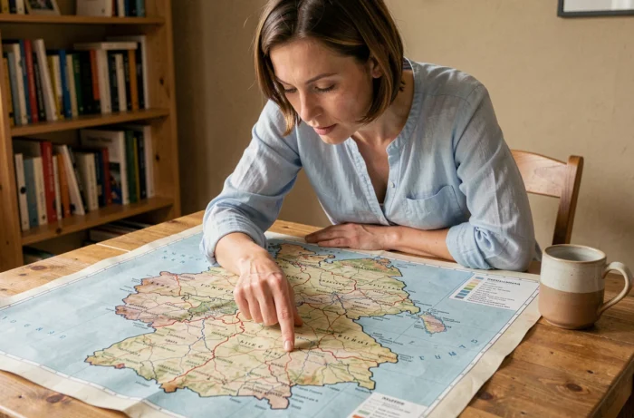
Germany has sixteen Länder since the reunification in 1990. Each has its own constitution, parliament, and extensive powers in areas such as education, police, and culture. Having a map of the German Länder translated into French allows one to locate these entities on the territory, but also to understand an institutional functioning that is very different from the centralized French model.
Why the division into Länder affects federal decisions
In France, regions do not have their own legislative power comparable to that of a German Land. Each Land elects its own regional parliament, which designates a government. This regional government then sends its representatives to the Bundesrat, the upper house of the federal parliament.
Consulting a map of the German Länder in French helps visualize this mechanism: the results of a regional election in Bavaria or Saxony directly alter the composition of the Bundesrat, and thus the balance of power regarding laws voted in Berlin.
This link between regional elections and national politics explains why the German press places such importance on elections in each Land. A regional election can block or unblock a federal reform, depending on whether the ruling party in Berlin retains or loses its majority in the Bundesrat.
City-states and large Länder: very different realities on the map
Berlin, Hamburg, and Bremen each form a fully-fledged Land. These three city-states (Stadtstaaten) have the same legal status as Bavaria or North Rhine-Westphalia, despite incomparable sizes. Hamburg and Bremen even hold the official title of Freie Hansestadt (free Hanseatic city), a legacy of the medieval Hanseatic League.
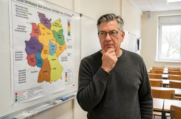
On a map in French, this particular status stands out: three urban points have the same prerogatives as thirteen extensive territories. Bavaria covers a substantial part of southern Germany, while Bremen is limited to two urban enclaves in the north.
This size disparity does not translate into a disparity of rights. Each Land, regardless of its size or population, has a number of votes in the Bundesrat that varies according to a weighted scale, without strict proportionality. Smaller Länder retain a relative weight greater than their demographics.
Länder of the East and West: what the map reveals about persistent gaps
The dividing line between the former Länder of the West and those reconstituted in the East after 1990 remains visible on the map. Saxony, Thuringia, Brandenburg, Mecklenburg-Vorpommern, and Saxony-Anhalt make up what are still called the new Länder.
The electoral dynamics there differ significantly from those observed in the West. Reuters reported that in Mecklenburg-Vorpommern, forming a parliamentary majority could require the alliance of three parties, whereas other Länder operate with two-party coalitions. Regional political balances vary greatly from one Land to another.
A financial equalization system revamped since 2020
The economic gaps between Länder have long been compensated by direct transfers from the wealthiest regions to the poorest. Since 2020, the mechanism has changed: balancing now occurs through the distribution of VAT and federal transfers, rather than through payments between Länder.
This change alters the reading of the map. The southern Länder (Bavaria, Baden-Württemberg) remain net contributors, but the financial circuit passes through the federal state instead of directly linking a wealthy Land to a struggling Land. Equalization no longer occurs through direct payments between Länder.
French names of the Länder: correspondences and translation pitfalls
Several Länder have names whose French translation is not intuitive. North Rhine-Westphalia (Nordrhein-Westfalen) is often abbreviated as NRW, even in French. Schleswig-Holstein retains its German name. Lower Saxony (Niedersachsen) derives its name from the Saxons originally settled in this area, while the current Land of Saxony (Sachsen) is located much further east.
The plural Länder (with umlaut) refers to the federal states, while land without a capital letter simply means “country” or “land”.
- Three Länder are city-states: Berlin, Hamburg, Bremen
- Five Länder correspond to the reconstituted territories of the former GDR: Saxony, Thuringia, Brandenburg, Mecklenburg-Vorpommern, Saxony-Anhalt

Federalism is a fundamental constitutional principle since 1949. The German Basic Law (Grundgesetz) guarantees the Länder their own powers. Any reform that would affect this division would require a constitutional revision, a procedure that demands a qualified majority in both the Bundestag and the Bundesrat.
Reading a map of the Länder in French, therefore, is not just about identifying sixteen colored territories. It is understanding that each color represents a state with real legislative powers, capable of influencing national politics through the Bundesrat and managing its own educational, police, and cultural systems.